

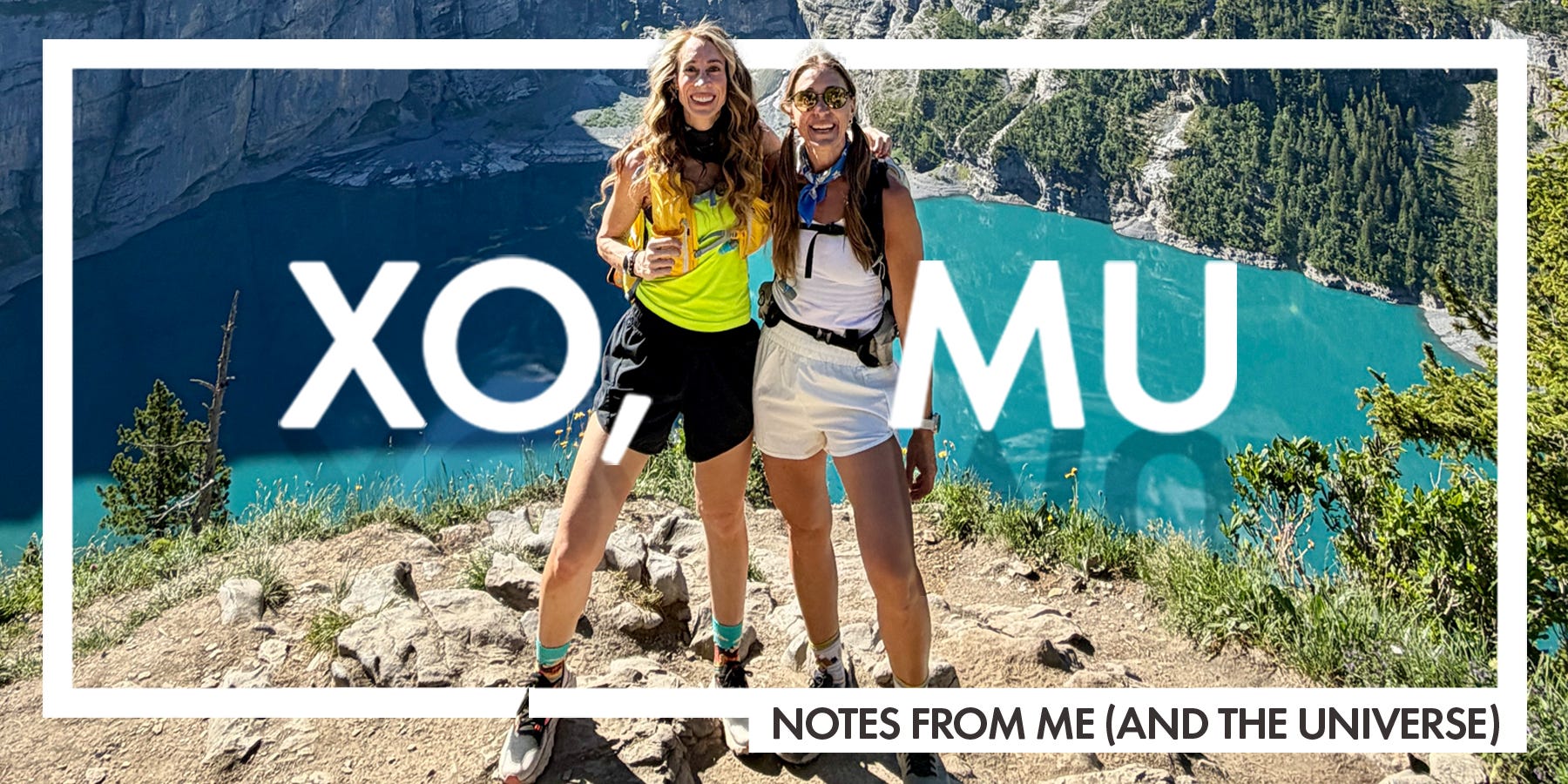
10 things you need to know before traveling in Switzerland
This was my first trip to Switzerland, and these are the things I wish someone had told me before I arrived.

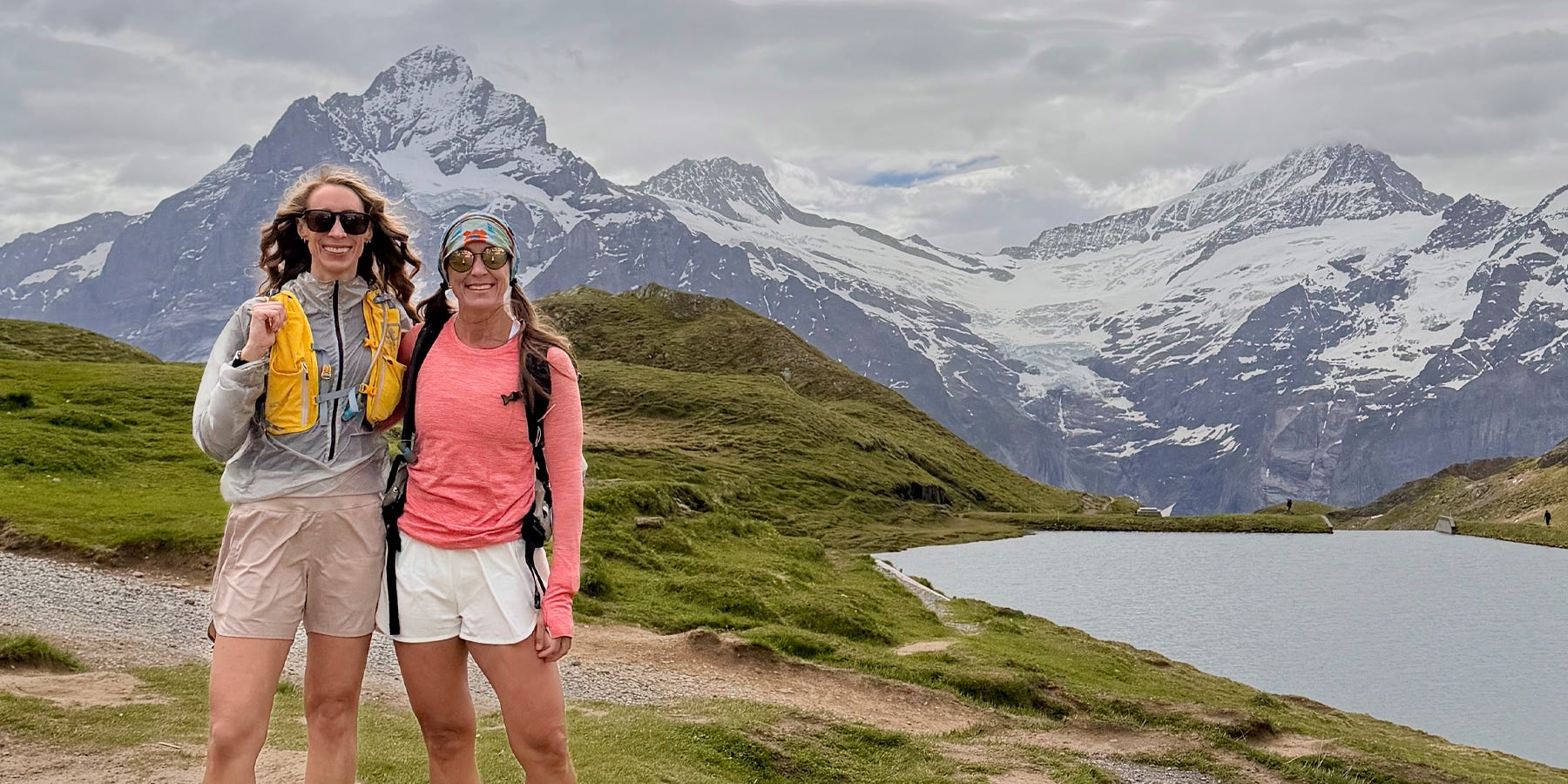
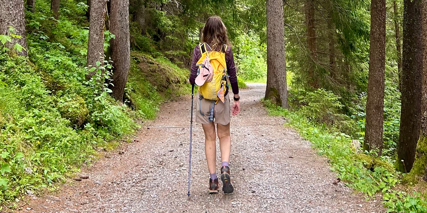
I’ve been in Switzerland for a week now, hiking with my sister. (I’ll be sharing my entire itinerary, including where we stayed, the hikes we did, the sights we saw, and everything I packed, when I get home!)
While it’s a big country and we’re only seeing one small corner, there has been a learning curve (steep at times) in adopting to Swiss hiking norms, travels, and culture. Here are ten things I didn’t know—but really wish I had—before arriving.
1. Things open late, and close early
This was the wildest flex for me, considering I’m such an early bird. At home I’m leaving for hikes at 6 AM. I was shocked to discover the gondola from Wengen to Männlichen didn’t start running until 8:30 AM. Like, your day is half over by then? Even in peak summer, the earliest ride up is 8:10 AM, and the latest ride back down at any time of year is 5:30 PM. We also missed a bus in Kandersteg because the last bus left at 4:15 PM.
However, we quickly realized Swiss tourists are far more relaxed than hikers in Utah. We started our hikes around 9:00 AM, and trails didn’t get “busy” until closer to noon. Still, starting so late means you’re almost always hiking in full sun, start to finish. That part was brutal, and I was frustrated once or twice that I was awake at 6 AM (as usual) with nowhere to go for two-plus hours.
Also, in Wengen, the coffee shop didn’t open until 7:30 AM. In Grindewald, the first two coffee shops I searched for didn’t open until 9 AM. This was equally wild to me. Many stores and shops also closed by dinnertime, though the sun didn’t set until 9:30 PM.
Pro tip: Check timetables for every gondola, bus, and train. It would not be a good surprise to realize the gondola is no longer running, and you’ve gotta do a 3 to 4-mile steep-ass hike down the mountains after a long day of hiking. The timetables shift slightly throughout the season, so head straight to SBB page or the region, mountain, or attraction website for the most accurate info.
2. You’ll commute to hikes
I am spoiled in SLC, where I am on the trails in 20-30 minutes. Here, however, we had to take trains and/or cable cars just to get to the trailhead. On our second day of hiking, we took three trains to Grindewald, then a cable car up to the trailhead. Some commutes were an hour-plus, but the views are so stunning you won’t mind the travel time.
One thing that’s nice about Swiss hiking trails is that you can often start at the top, and hike your way down the trail. We didn’t do this, but it does make for some easier hiking in many areas.
Pro tip: You need the SBB Mobile app. Don’t rely on Google or ChatGPT for timetables—go straight to the source. Download it before your trip, register for an account (do not purchase as a guest), then book all of your travel (train, bus, gondola, cable car, boat) through the app. This way, your tickets are all in one place, in your account.
3. You can easily hike point-to-point
We didn’t do a single out-and-back hike our entire trip, which was a welcome change. There are plenty of loops, but we mostly did point-to-point. We’d start from home, commute to the trailhead, then hike in one direction (up, or up then down) until we were done. You’ll end at a different town or city, then take a train and/or bus home. (We did some recon ahead of time, so I knew our options and bus or train stops along the way.)
Pro tip: We had cell coverage for most of our hikes, but please don’t depend on it. All Trails did show most of our routes, although I often had to cobble them together. I’d download three different trails for the area, then flip between them as we were on the route. Also, hiking back down into town can be steep! On one hike, we lost 5,500 feet in around 6 miles. (It was insane, and our quads hurt for days.) Make sure to look at elevation loss on your planned route, not just gain.
4. Do not gamble with train tickets
Half the time, nobody checked our ticket on the bus or train. It seems to be random, where conductors will visit some cars but not others. However, they can charge a steep penalty if you get on the train without a ticket. We learned this the hard way on our post-hike ride from Kleine Scheidegg to Wengen. We foolishly didn’t buy a ticket at the station. When the conductor realized we were ticketless, he charged us $50 for a $16 train ride. We were already bleeding money, and it hurt.
Pro tip: You don’t need to pick a specific time for your train ride. Buy your tickets for around the time you plan to travel, but as long as you don’t select a “super saver” non-refundable fare, you can get on the train any time that day. The ticket is also good for the entire route, so you can get on and off at any town between your start and end town, heading in that direction of travel. Tickets ranged between $10 and $20 per person for normal between-town rides with our Swiss Half-Fare Cards.
5. Buy the Swiss Half-Fare Card
The Half-Fare card will cut the cost of train tickets (and most boat, bus, gondola, and cable car tickets) in half, and it’s 100% worth it. It’s good for a month, and costs 150 CHF (around 185 USD).
Make sure to choose the correct dates (starting the day you arrive) and remember they write dates backwards—day first, then month. This section is short because this is a must if you’re spending more than a few days in Switzerland.
Pro tip: Buy your Half-Fare Card in the SBB app, and add it to your iPhone wallet. The conductors on the trains will scan your ticket for that route, then scan your half-fare card. (They always asked to see the card.) You’ll want to keep these handy and easily accessible.
6. Not all trails were open
Our trip was June 13 - June 22, which is still “early” in the season in some areas, given snow and risk of avalanche. While most of the trails we wanted to do were open, there were two popular trails that were closed—the Eiger Trail (there are a number of ways to access), and the Schynige Platte to First trail above Bachalpsee. We also encountered a few climbs in the snow above Bachalpsee, and some of the huts and restaurant stops along that trail were closed.
This wasn’t a big deal, although I would have loved to do the Eiger trail. We did bump into a family on one trail, however, who wasn’t as prepared for the elevation, wind, and cold. They were counting on a stop at the restaurant at the next juncture, but learned too late that it wasn’t open yet. It was likely a miserable climb back down.
Pro tip: Go straight to the Jungfrau region hiking page to determine trail closures. You’ll need to do some research ahead of time to know where you want to hike, but once you have the general area, click through the region, click on “hiking trails,” and see what’s green (open) and red (closed). If a trail is closed, it’s closed. That means it’s far too dangerous to proceed, and also the Swiss love their rules. Don’t mess around here. (See #9.)
7. Weather is unpredictable
I packed lots of layers for this trip: tank tops, light base layers, a light windbreaker, a packable puffy jacket, and a Gore-Tex rain jacket. Weather reports changed quickly, ranging from 45°F and rainy to 90°F and sunny and sunny depending on the elevation and location.
It was 30 degrees colder and far windier up at Lake Bachalpsee compared to the area we hiked the day before, and it hit 90°F in full sun in Thun. Afternoon thunderstorms are also common.
When it’s sunny, it’s hot AF. Sunscreen is a must—reapply often. A linen long-sleeve oversized shirt would have been so nice to have in town. (I had a light REI base layer that I threw on when I needed sun protection.) I also had a hat and sunglesses for sun protection.
Pro tip: Check the weather where you’ll be hiking or recreating, not your base. Elevations vary widely between towns, and a few thousand feet can make a significant difference in conditions. (Thun is 1,800 feet, and was much hotter than Kandersteg at 4,000 feet.) If you can’t find weather reports for a specific lake, find the nearest town and look there.
8. The mental load can be intense
While most websites can be natively translated into English, the amount of recon I had to do was still exhausting. Researching areas to hike; seeing if routes were open; downloading the right trail maps; figuring out how to get there and back; buying train, bus, gondola, and boat tickets from the right stop and in the right direction… it’s much more work than hiking at home. Some trails are relatively simple, but we wanted more “off the beaten path” experiences, and it was a lot of work.
Today, we decided to continue our hike from Gemmi Pass to Leukerbad, instead of going back the way we came. It required taking a gondola, riding a bus, taking a train, catching another bus, then boarding another train to get home. (I did all of this from the trail; cell service is good just about everywhere.)
Restaurant menus were also a challenge. In Kandersteg, they’re almost all in German. ChatGPT came in handy for translating menus; I’d send it a photo and it would outline the choices in English.
Pro tip: In terms of activities, we did a mix of specific plans + winging it, and it was perfect. I did enough planning ahead of time that we could play things by ear on the trail, deciding where we wanted to go next based on the time, weather, and how we felt. Signage on trails is quite good, and on popular trails, you won’t have any surprises. I’ll be sharing my full itinerary ASAP, so you can steal our exact plans if you want!
9. The Swiss are… reserved
I thought East Coasters were direct—the Swiss take this to a whole new level. You’ll get one-word answers, zero small talk, matter-of-fact responses, and at times, terrible customer service. (We did not try to browse at Kathy’s.)
Early in the trip, I accidentally bought a train ticket for the wrong day. I smiled and tried to explain to the conductor. He gave me a blank stare, said, “But 17 is not 16,” then told me to pay. We were also met with many stony faces on the hiking trail when we said a simple, “hello.” Be prepared for this.
Direct, short, and reserved are just part of the culture here—and from what I have read, the Swiss find the outgoing, friendly, easily excited manner many Americans project insincere or even impolite. They are also big rule-followers, so don’t jaywalk, play music during quiet hours, or skirt over a “trail closed” sign.
Pro tip: Most shop owners, hotel staff, and others we encountered were nice and helpful. Many Swiss we met on the trail were equally friendly. To assimilate better, greet everyone upon entering a store and upon leaving, and speak quietly in public spaces, including trains and restaurants.
10. There will be hills
After exploring many mountain towns, from Wengen to Spiez, Thun, and Leukerbad, our quads and calves were fried. Yes, we did some intense hikes, but we probably hit just as many hills in town as we did on the trail. Very few towns had flat, long walks (Lauterbrunnen is one exception). If you want to deviate from the main street or explore at all, you’re walking up some big-ass hills.
Be prepared, especially when booking your hotel or Airbnb. We looked at one in Wengen, but thankfully I read the reviews before clicking “book.” Everyone said it was beautiful, but the 15-minute steep hill you had to walk up and down each day was brutal. (We walked that hill. Can confirm—brutal.) Now imagine that with a large roller suitcase.
Pro tip: Do not bring a large roller bag. The hills alone make it highly impractical, but smaller train stations also don’t have ramps connecting tracks. We saw more than a few tourists lugging big bags down and up a large number of steps while trying to catch a train. I used a 45L travel backpack from Peak Design and it was perfect.
Itinerary coming soon
I took incredible notes every single day of our trip. I even organized my photos by day, to make it easier to share our plans. This was hands-down the most active vacation I’ve ever had, and that’s saying something. When I’m home and rested, I’ll share all the details, including:
Our day-by-day itinerary
Our hiking trails with mileage, elevation gain/loss, and trail maps
What I packed (and how I packed it)
What we ate
What we spent (I don’t even want to add it up)
I’ll also share what I wish we’d done differently, because there were a few things. What do you want to know about my Switzerland trip? Share in comments and I’ll be sure to work it into my write-ups.
Last summer we did a self-guided point-to-point hike there over 5 or 6 nights (with our 10 year old son), staying at both huts and hotels. We walked it all except a train ride at the beginning and end via Zurich and just a couple of gondolas. We carried small packs but had main luggage picked up and driven to the next sleeping spot. Expensive, but overall probably saved money with pre-planned lodging and minimal messing around overall. We did the same thing in Slovenia a few years ago and will be doing it again in the Dolomites this year. It's a great way to do ambitious hiking in the alps.
Wow, so insightful/ helpful, thank you!!